
Utility GPR Scanning
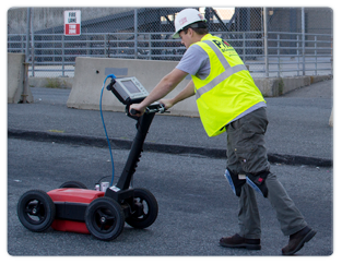
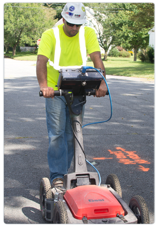
Utility GPR Scanning is a utility mark-out and underground locating technique that can be carried out with same day service. Highly concentrated radar signal can be used to locate buried utilities, clay pipes, demolition debris, underground storage tanks, and ledge up to 20 feet underground. This safe, reliable, and rapid process can get projects back on track and moving forward. Scanning can prevent costly project overruns and prohibit time consuming shut downs of existing systems due to accidental destruction during digging.
What Are the Benefits of Utility GPR Scanning?
- Identify and Map the Location of Subsurface Utilities
- Mark Out Existing Utilities and Obstructions within Trenching Locations
- Detect Electrical, Communication, Gas, Water, and Sewer Lines
- Accurately Locate Underground Storage Tanks
- Limit the Scope and Cost of Exploratory Work Prior to Project Start
